GIS • Storytelling
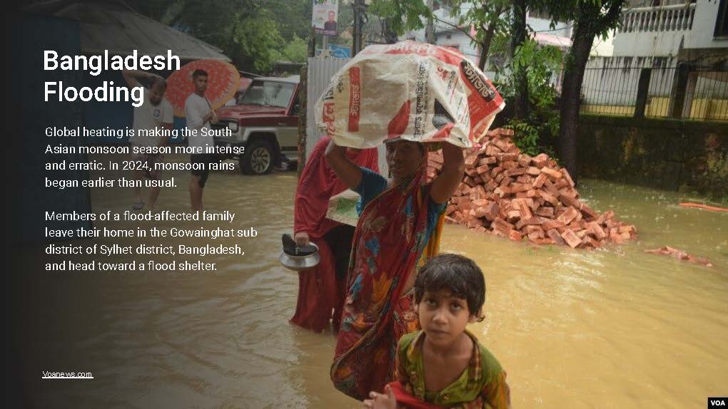
Bangladesh Flooding
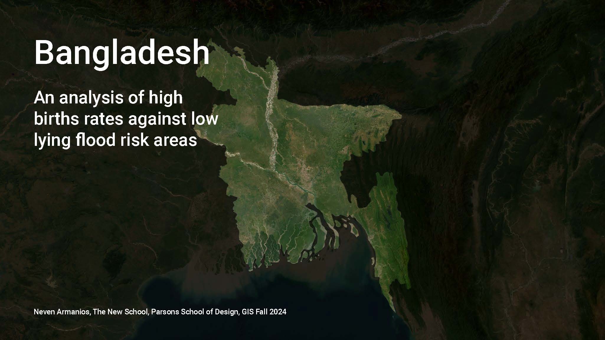
A spatial study of birth intensity, populated places, and low-lying flood exposure across Bangladesh.
Overview
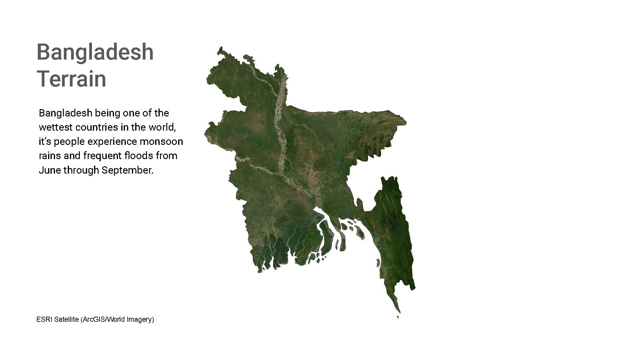
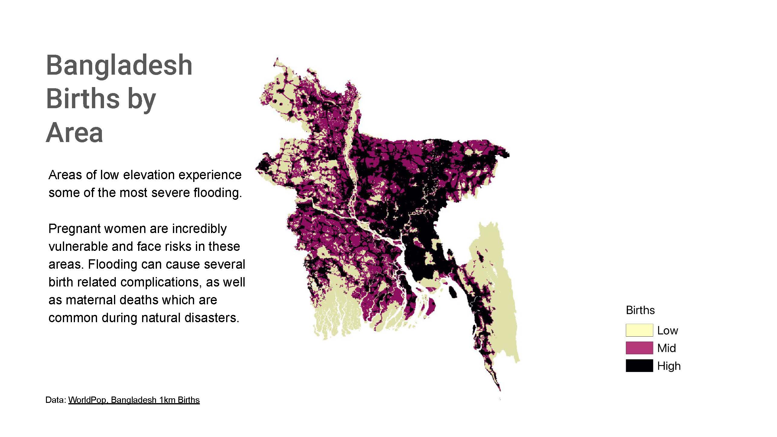
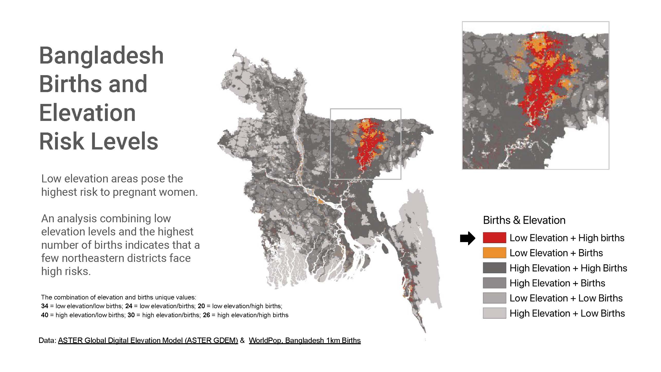
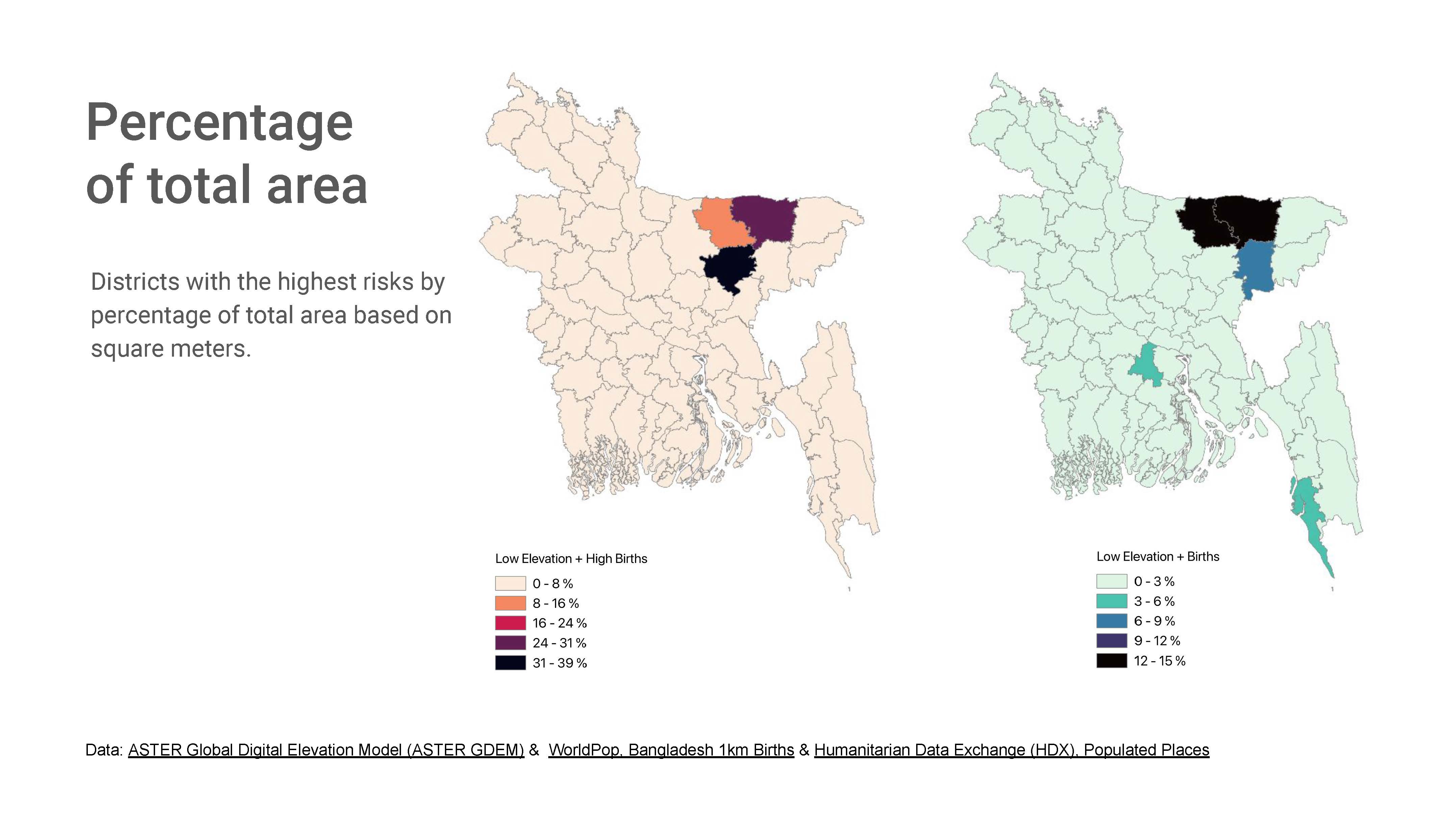
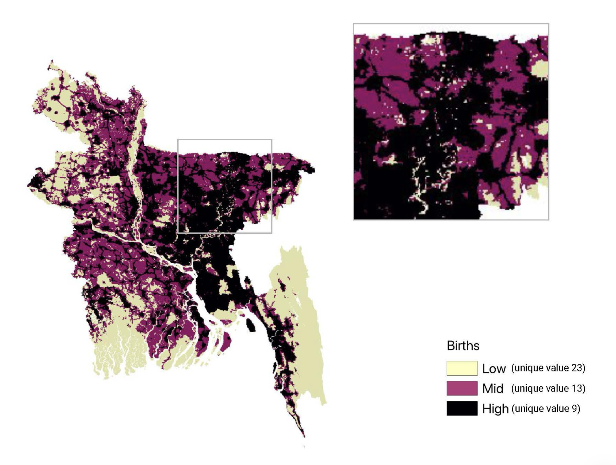
This project examines how birth patterns overlap with low-lying flood-risk areas across Bangladesh. By bringing demographic and spatial layers into the same visual system, it looks for places where environmental exposure and population pressure may converge most sharply.
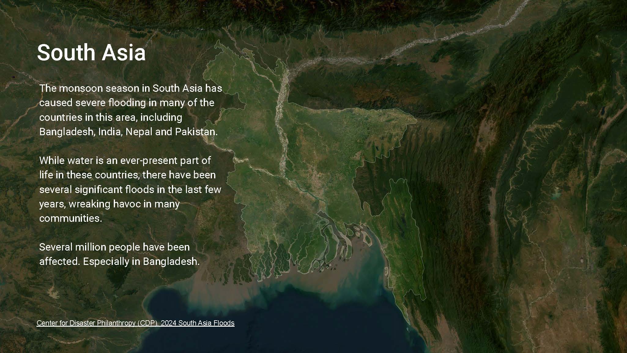
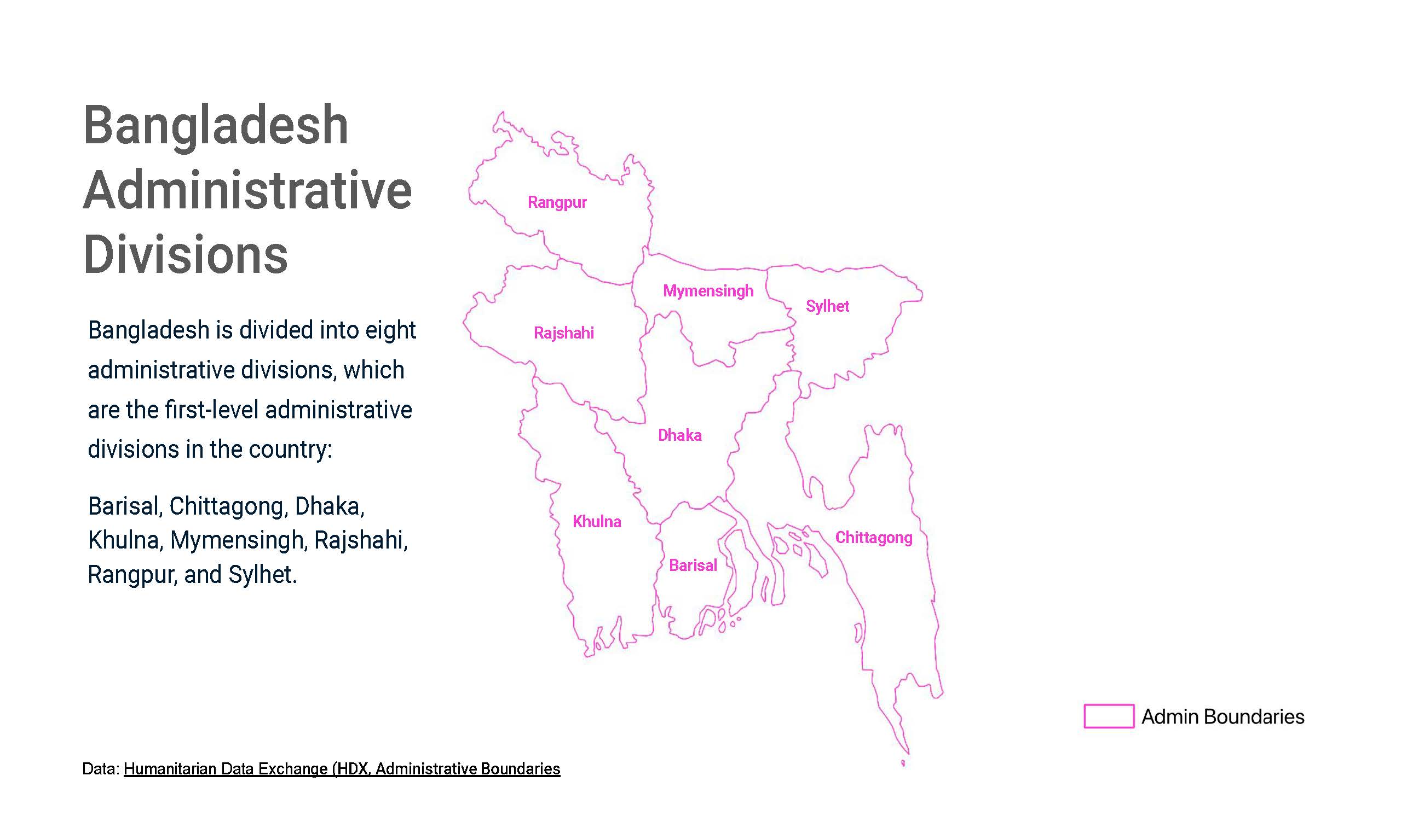
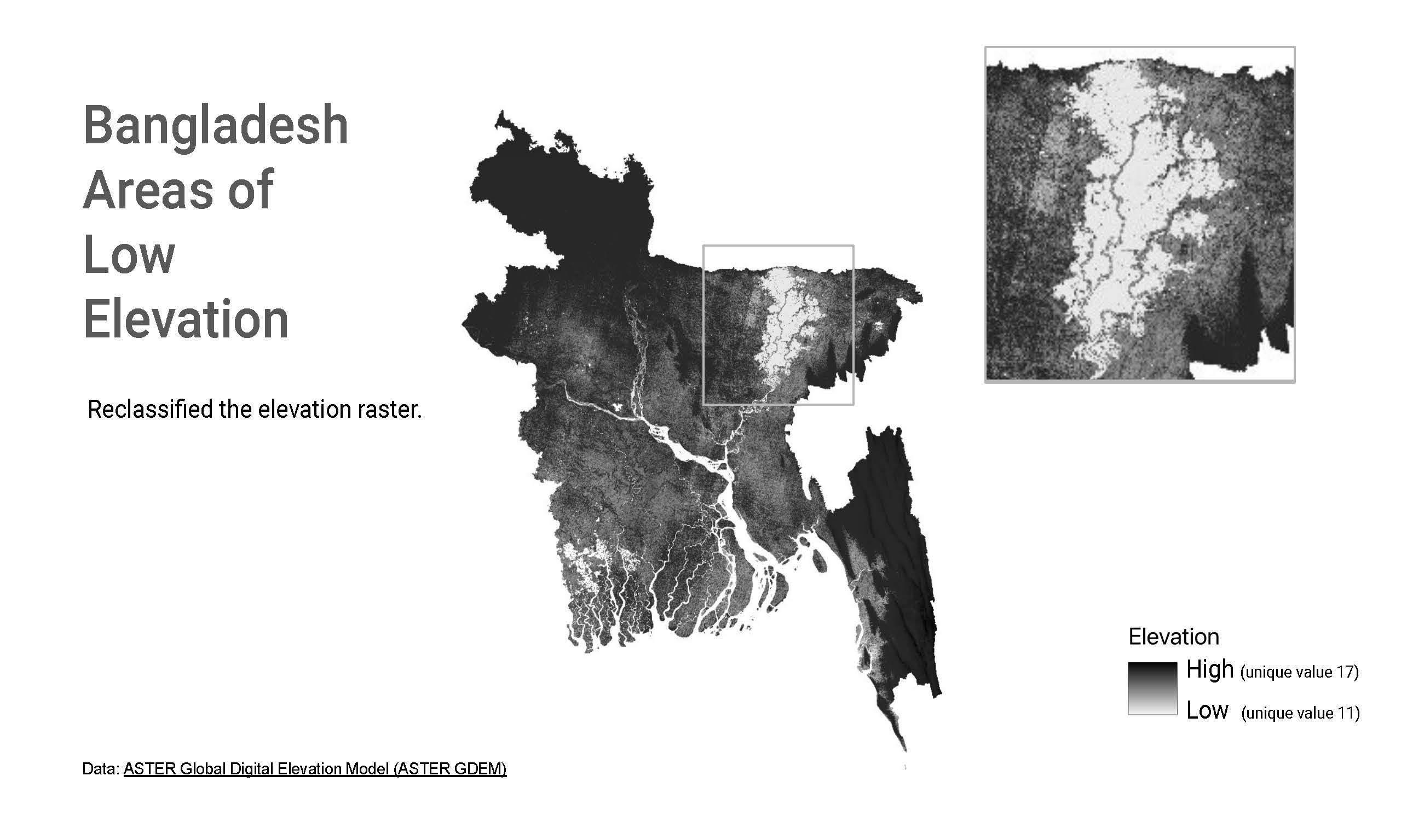
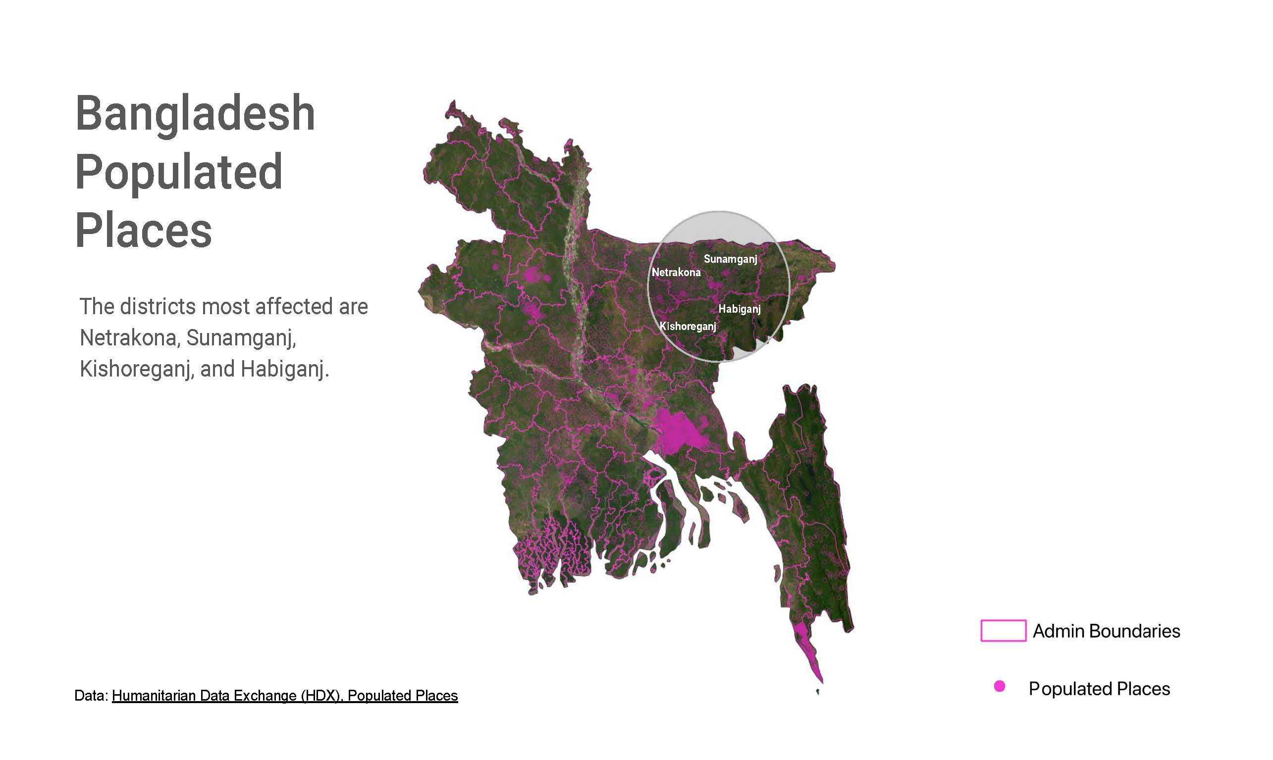
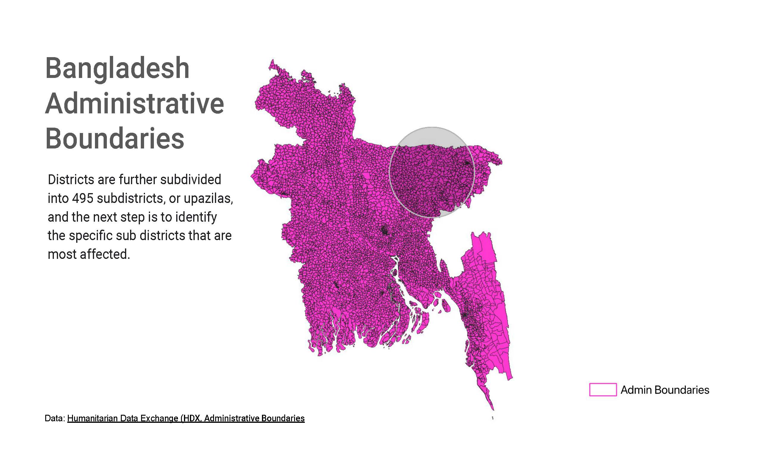
The resulting map series moves from national context to more specific administrative and settlement views. That progression helps surface where a broad climate vulnerability story becomes a local planning question, especially for regions where dense populations and flood exposure intersect.
Data & Framing
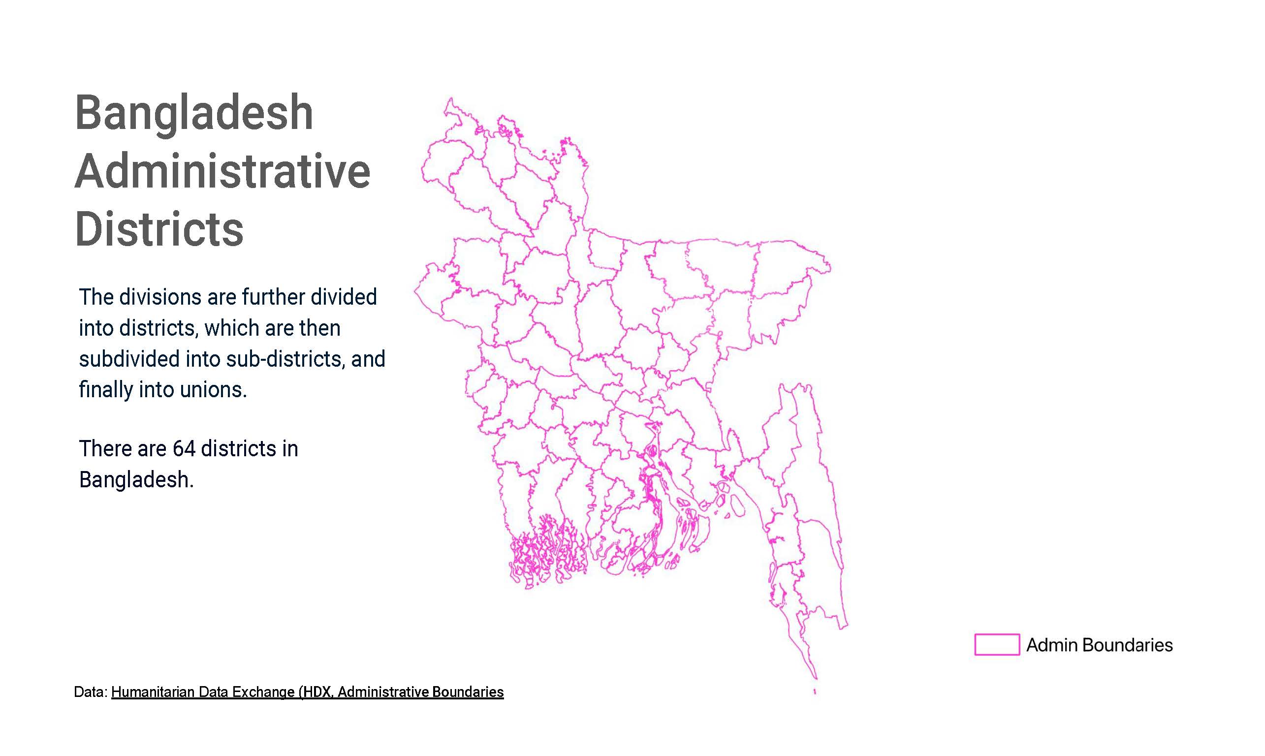
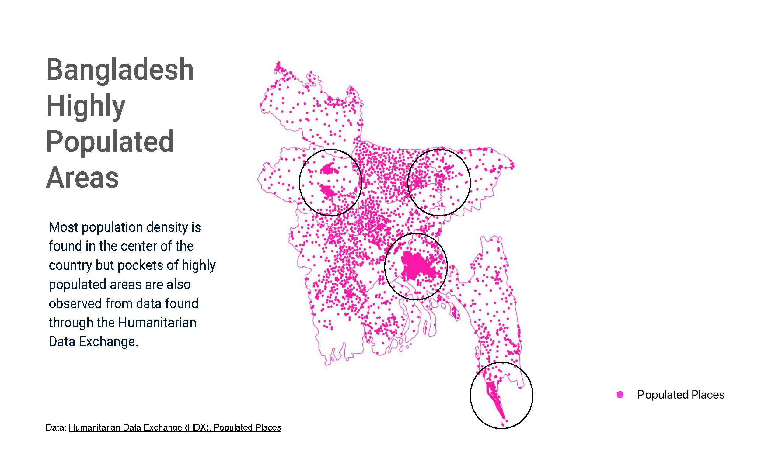
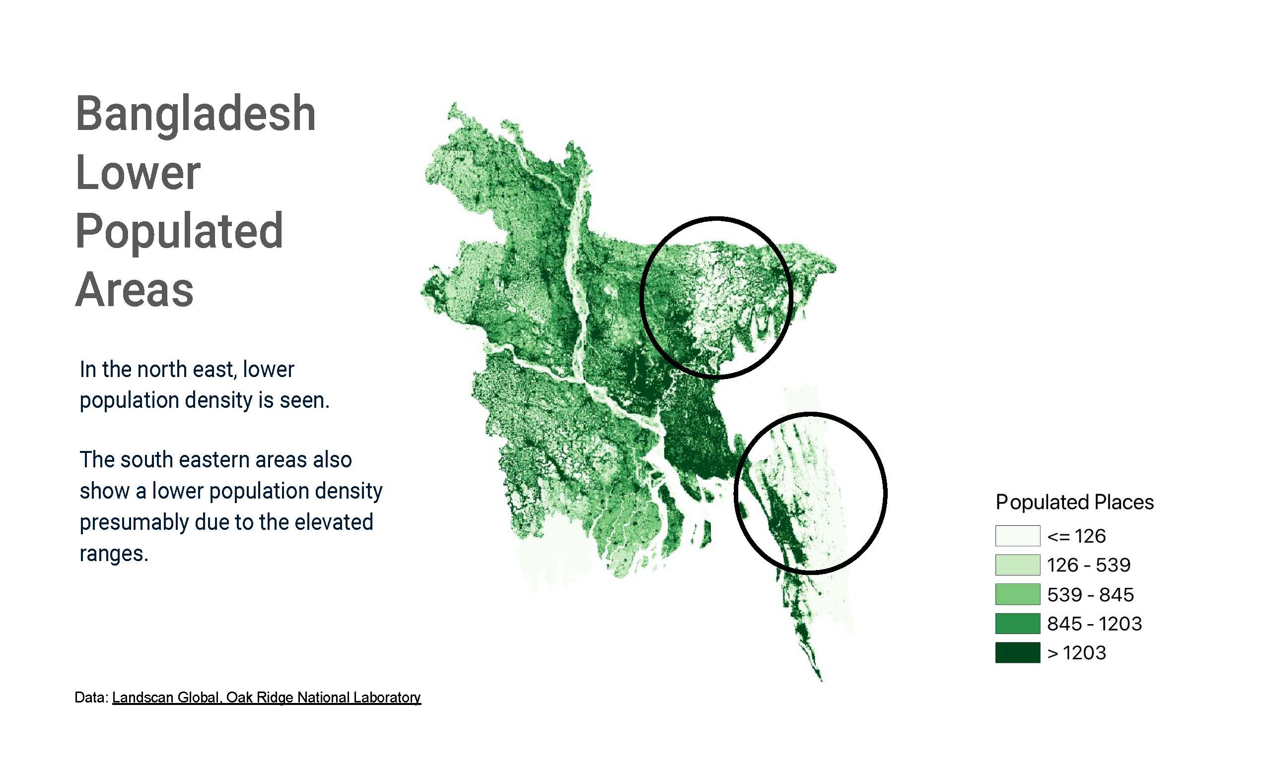
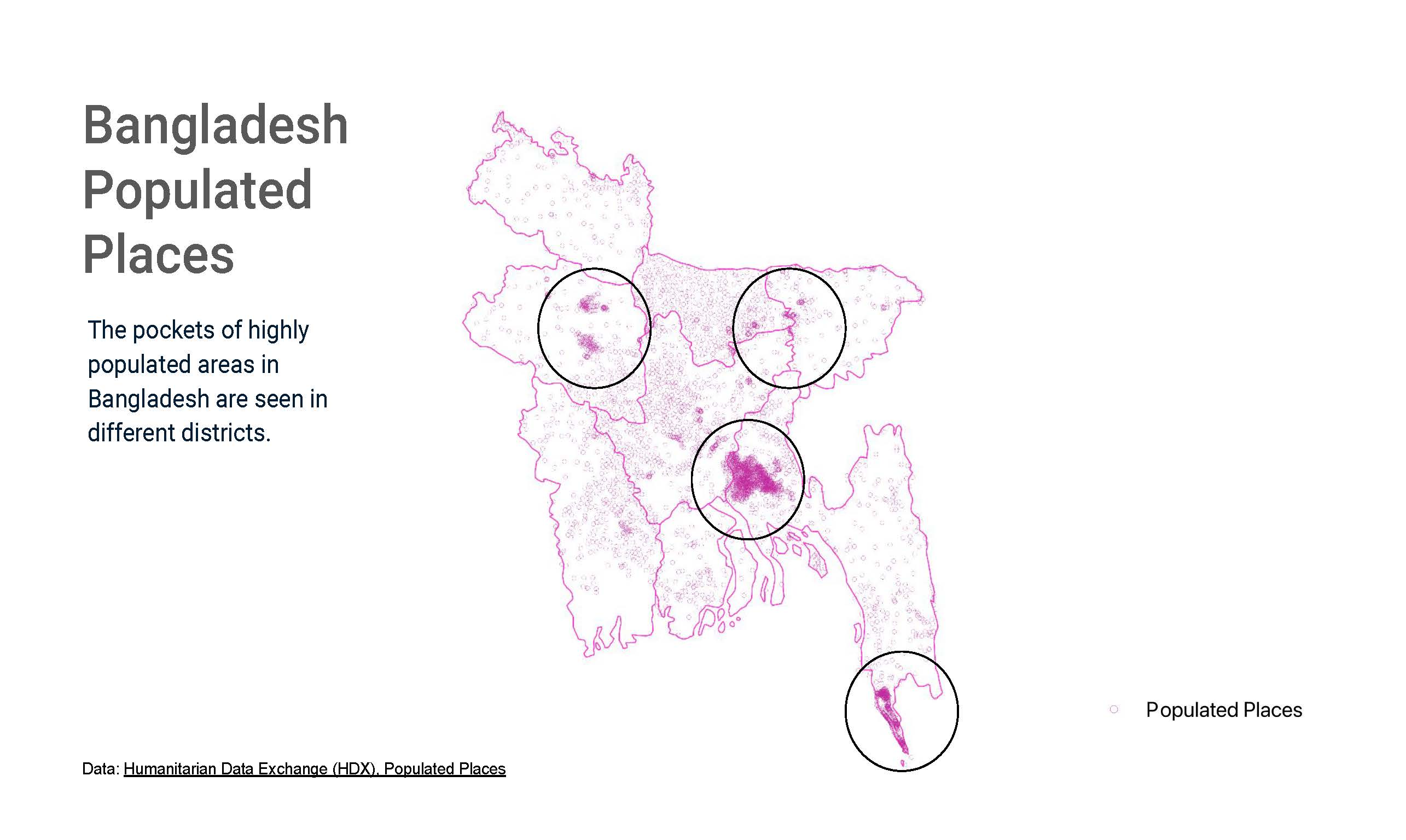
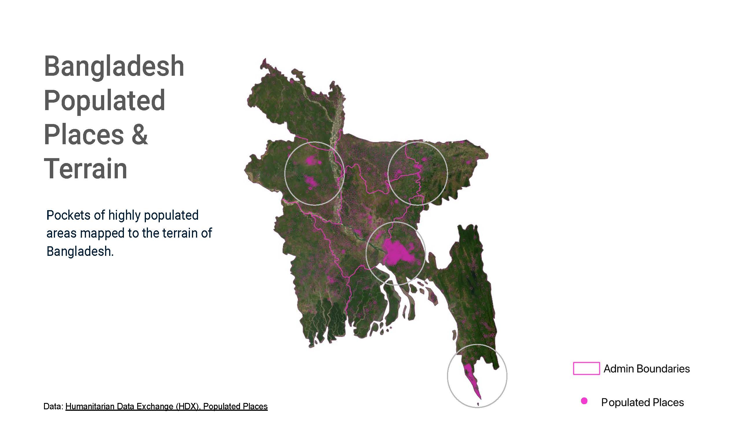
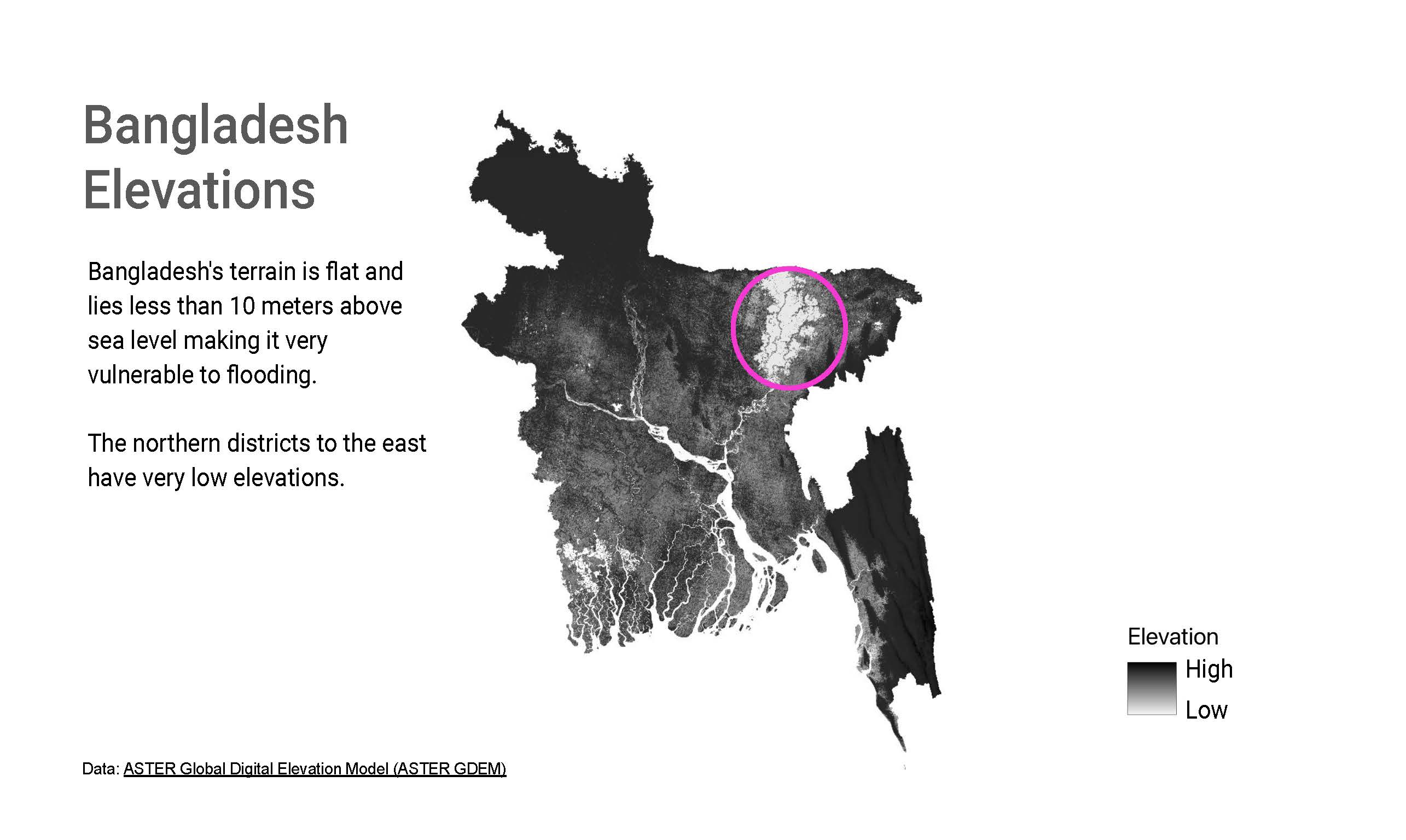
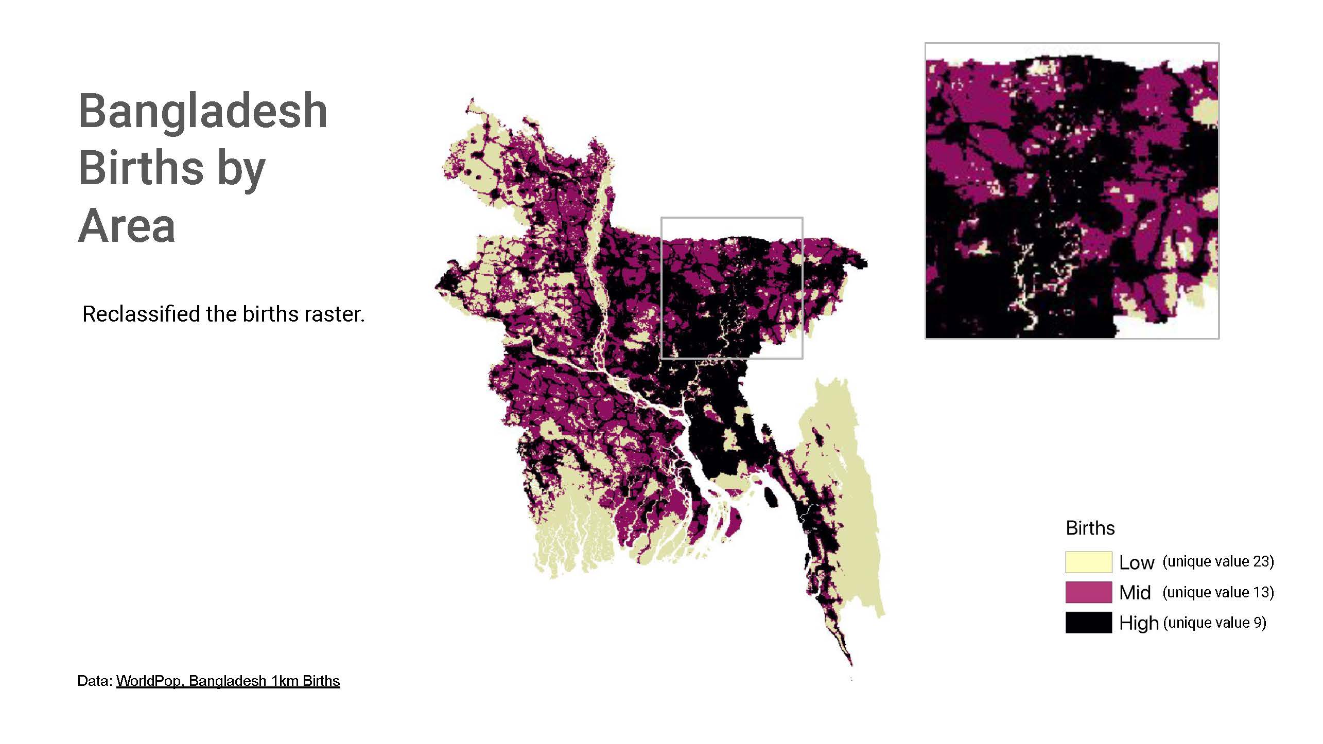
The work uses administrative boundary and populated-place data to situate birth intensity within Bangladesh's geography. Several maps compare low, mid, and high birth values against the country's low-lying terrain, while later images narrow the frame to districts and subdistricts where deeper analysis may be most useful.
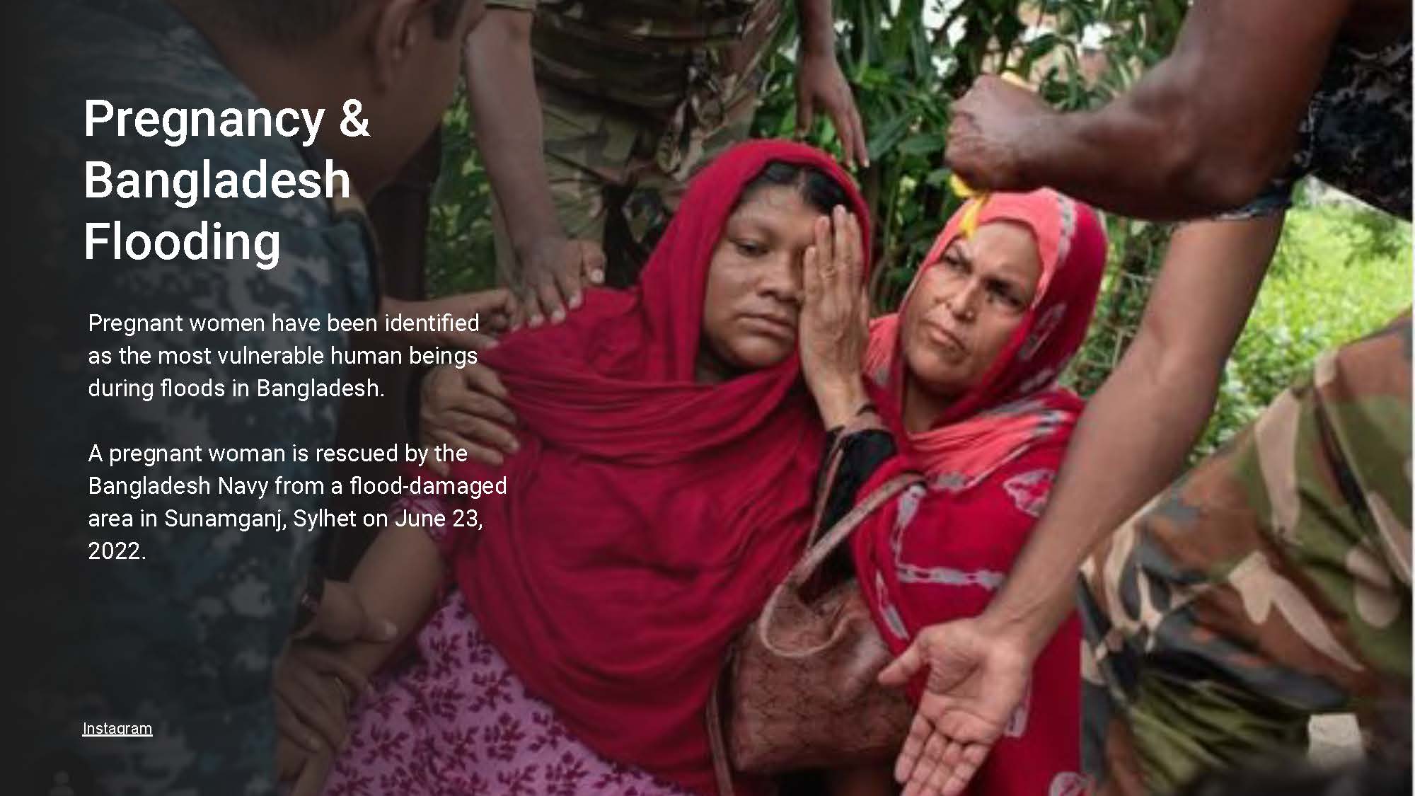
Taken together, the images read as a geographic argument: flood risk is not evenly distributed, and neither are the people most likely to be affected by it. The project uses that contrast to identify areas where resilience planning, maternal health, and infrastructure questions could benefit from closer attention.
Map Series